The Trolltunga hike at a glance
Trolltunga is a rock tongue that juts out from a mountain edge. The hike to it is demanding, and the length depends on where you start. There are three trailheads, and the choice decides whether you walk about 20 km (12.4 mi), 27 km (16.8 mi) or close to 38 km (23.6 mi) in total.
Most hikers start at P2 in Skjeggedal or at P3 at Mågelitopp, the higher car park. Plan for a full day either way. The figures on this page come from the local operator of the trail and its parking, and they apply to 2026.
Three trailheads compared
Net ascent is the difference between the start and the highest point. Total ascent counts every climb along the way, including those you repeat on the way back, so it is the larger and more honest number for your legs.
| Trailhead | Round trip | Time | Net ascent | Total ascent |
|---|---|---|---|---|
| P1 Tyssedal | 38 km (23.6 mi) | About 15 hours | – | – |
| P2 Skjeggedal | 27 km (16.8 mi) | 8 to 12 hours | 800 m (2,625 ft) | 1,200 m (3,940 ft) |
| P3 Mågelitopp | 20 km (12.4 mi) | 7 to 10 hours | 320 m (1,050 ft) | 800 m (2,625 ft) |
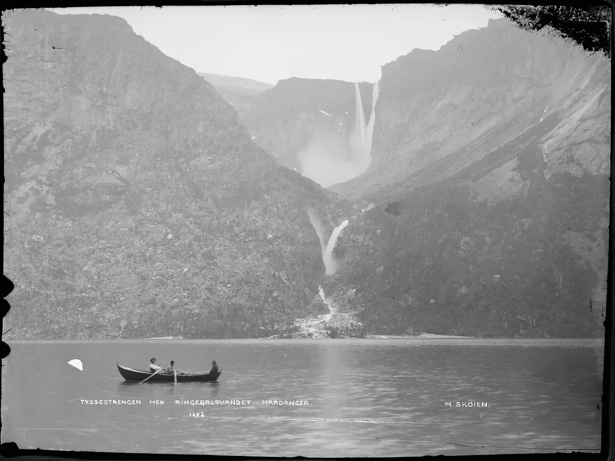
The photo above shows the Tyssestrengene waterfalls in the Trolltunga area. It is a historical photograph, not a view of the rock tongue itself.
Our picks: Trolltunga hikes
Two guided options, one with lunch and one with poles and photo assistance.
Hand-picked tours, booked through GetYourGuide. Prices are indicative starting prices in euros (as of October 2026). Tap a tour for live availability and the current price in your currency.
Trolltunga day hike with lunch
About eleven hours with a certified guide, lunch and local snacks, plus the guide's safety and first-aid equipment.
Check availability →Trolltunga summer hike with a guide
About ten hours with a guide carrying safety and first-aid equipment, plus hiking poles and photo assistance. The P2 to P3 transfer depends on the weather.
Check availability →Trolltunga hikes with a guide
Guided hikes to Trolltunga and other trips in the area, with live prices and availability.
Season and safety
From June 1 to September 30, the local operator says experienced mountain hikers can walk without a guide. For the rest of the year it recommends a guide. That is a recommendation, not a legal requirement, but the reason behind it is real: snow and weather can change the trail a lot, and the calendar does not promise a snow-free path even in summer.
Whatever the month, bring wind- and waterproof clothing and enough food for a full day. Start early. A day that runs 12 hours needs daylight at both ends, and a late start leaves you no margin if the weather turns.
The area has three emergency huts: Floren, Endåen and Tyssehøl. They are shelter in an emergency, not accommodation you can plan to use. A staffed rescue hut operates from about May 17 to mid-October. The emergency number is 112. Fitness matters more than gear here: the longer routes are a serious effort, and you should be able to turn back when the weather says so.
Parking and costs in 2026
The car parks are run by the local trail operator. The amounts below are fees per vehicle, not an entrance fee per hiker.
| Car park | Price | Limits |
|---|---|---|
| P2 Skjeggedal, until midnight | NOK 550 | No advance booking. Vehicles up to 5.2 m (17 ft) long. Motorcycles pay half. P2 prices include the road from P1 |
| P2, two days | NOK 770 | – |
| P2, three days | NOK 990 | – |
| P3 Mågelitopp, until midnight | NOK 600 plus NOK 220 toll | 30 spaces, vehicles up to 2 m (6.6 ft) high, no motorcycles |
| Drop-off at P2 only | NOK 220 toll | – |
P3 therefore comes to NOK 820 once you add the toll at P2 to the NOK 600 parking fee. P3 is open from June 8 to September 30, 2026. Advance booking runs through August 31, and in September spaces can also be taken on the spot. Buses, motorhomes and minivans are not suited to the access road at P2. The P1 daily rate in Tyssedal is not listed here, so check it on arrival.
Getting there without a car
Public transport to the area runs through Odda, with Tyssedal close by. Since May 4, 2026, buses leave from a new terminal at the former smelter site instead of the old bus station. The affected lines include 930 from Bergen to Odda, 990 from Odda to Voss and 995 from Odda to Tyssedal. Shuttle prices and last departures for 2026 vary, so check them before you plan a late return.
Our page on day trips from Bergen covers what is realistic from the city. For a different kind of day in the same region, read about the Hardangerfjord and its blossom season. Hiking farther north is covered by the Lyngen Alps guide.
Choosing your route
If you are fit and want the shortest route, P3 at Mågelitopp is the option, as long as you arrive in its season and book ahead. P2 is the standard starting point with no booking, but it adds climbing and hours. P1 in Tyssedal makes the day about 15 hours and suits only very strong hikers who plan around daylight.
Compare Trolltunga with the shorter Preikestolen hike if you are unsure about a full day in the mountains. For timing across the whole region, see the best time to visit the fjords. Pages for every fjord are on the start page.
Trolltunga: frequently asked questions
How long does the Trolltunga hike take?
From P2 in Skjeggedal, allow 8 to 12 hours for the 27 km (16.8 mi) round trip. From P3 at Mågelitopp it is 7 to 10 hours for 20 km (12.4 mi). From P1 in Tyssedal it is about 15 hours for 38 km (23.6 mi).
Do I need a guide for Trolltunga?
From June 1 to September 30, experienced mountain hikers can go without one. Outside that period the local operator recommends a guide. It frames this as advice, so check conditions and your own experience before you decide.
How much does parking cost?
At P2 it costs NOK 550 until midnight, NOK 770 for two days and NOK 990 for three days. At P3 it costs NOK 600 plus a NOK 220 toll, so NOK 820 in total. These are fees per vehicle, not a ticket for the hike.
When can I park at P3?
P3 is open from June 8 to September 30, 2026. You can book in advance until August 31, and in September spaces may also be available without a booking.
Is Trolltunga safe in winter?
The trail is much harder in snow, and a snow-free path is never guaranteed, even in summer. The local operator recommends a guide outside June 1 to September 30. Dress for wind and rain, carry food and start early.
Can I stay overnight in the emergency huts?
No. The three emergency huts are for emergencies only and cannot be planned as accommodation. A staffed rescue hut operates from about May 17 to mid-October.